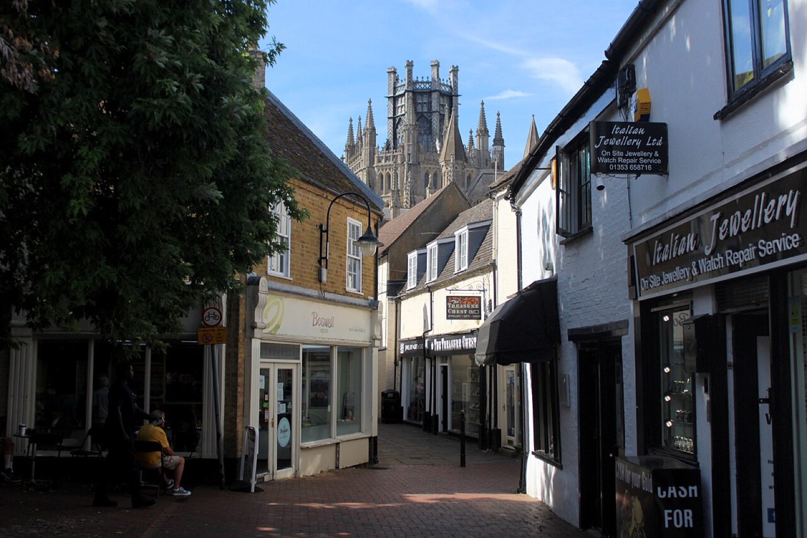
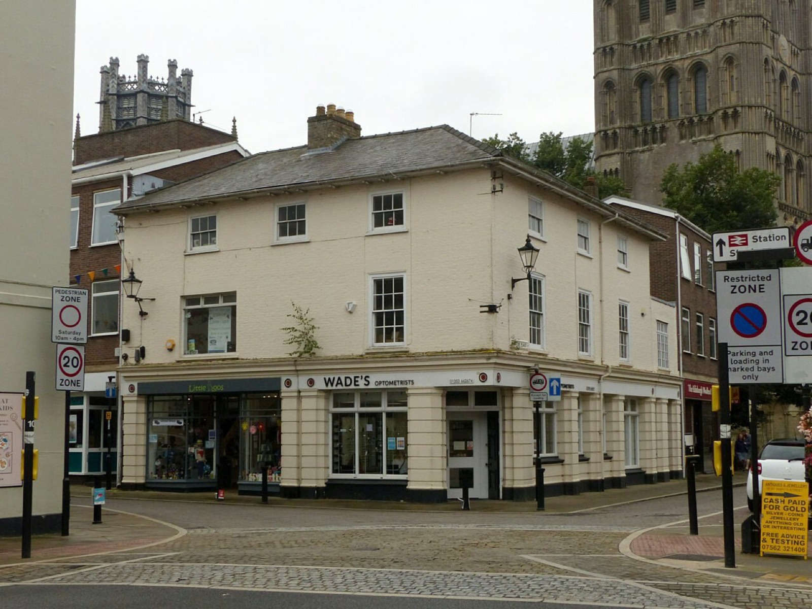
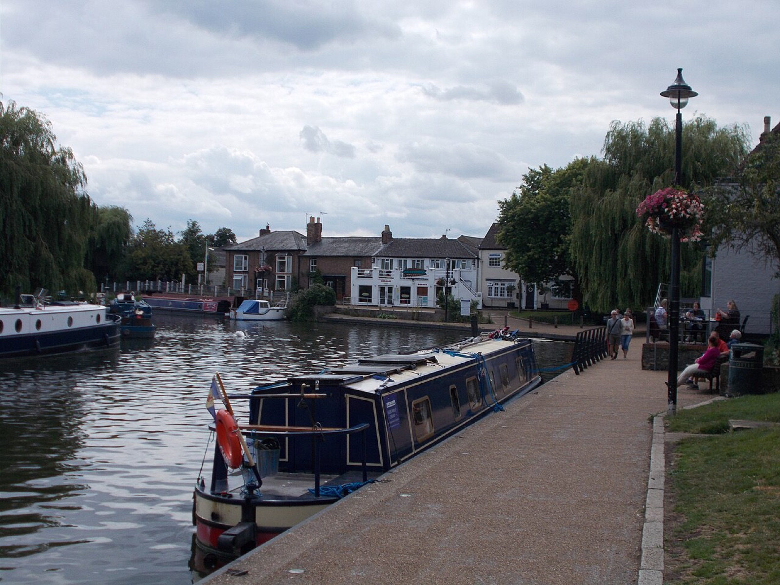
How do you get around Ely without a car? Ely has its own railway station and 113 bus stops in the town, with 18 more in the villages around it. Train times below are live from National Rail, and the bus board shows the next departures from any stop you pick. Drivers have 10 car parks to choose from.
Trains from Ely The next departures, live from National Rail, and what each station has when you get there.
Ely station In Ely, CB7 4BS
ELY
Ticket office Monday to Friday, 06:00 to 20:00 Saturday, 06:00 to 20:00 Sunday, 08:30 to 18:30 Ticket machines as well
Parking 135 spaces 3 accessible bays
Cycle parking 330 spaces
Platforms 3
Staff Staffed full time Run by Greater Anglia
At the station toilets, refreshments, wifi Accessible toilet and baby changing
Step-free access This station has step free access to all platforms via a ramped subway.
Buses from the station Local bus services operate from a stop near Tesco – a 5-minute walk from the station entrance. Ely is a Plusbus area: a train ticket can include local buses for a supplement. Other stations inside the Ely boundary 1 station The Ely boundary is the whole parish, so it takes in stations that are not in the town. They have their own live boards.
Shippea Hill station In Shippea Hill, inside the wider Ely boundary, CB7 4SR
SPP Shippea Hill receives a very limited train service so please check timetables and journey planners before travelling to or from this station.
Ticket office None at this station No ticket machines
Parking 6 spaces
Cycle parking 2 spaces
Platforms 2
Staff Unstaffed Run by Greater Anglia
At the station No facilities listed
Step-free access This station has step free access to both platforms from Mildenhall Road, with approximately 30 metres between the two entrances which are either side of the level crossing. Source: National Rail Enquiries, via the Rail Data Marketplace, checked 13 September 2026 . Powered by National Rail Enquiries How we use this data
Buses in Ely 11 bus routes from 6 operators call at 88 of Ely's 131 stops. The times below are the timetabled ones from the Department for Transport's Bus Open Data Service, refreshed daily. A bus running late still shows its booked time.
Next buses Pick a stop to see what is due there.
Stop St Etelreda Catholic Church (opp) Merlin Drive (opp) Goodwin Grove (adj) EMG Garage (opp) Stour Green (opp) EMG Garage (adj) Buckingham Drive (adj) Beech Lane (o/s 7) Waitrose (near) Northwold (opp) Northwold (near) Cardinals Way (near) Bell Holt (opp) Stirling Way (near) Stirling Way (opp) West Fen Road (adj) Warwick Drive (opp) Warwick Drive (near) The Glaives (o/s) Tennyson Place (opp) Tennyson Place (near) Spring Meadow Infants Sch (opp) Priors Court (opp) Priors Court (near) Nene Road (near) Nene Road (opp) Longfields (nr) Larkfield Training Ctr (opp) King's Avenue (opp) Hertford Close (near) Dunstan Street (opp 26) Dunstan Street (o/s 46) Downham Road (near) Darwin Close (nr) Darwin Close (opp) Cemetery (opp) Bishop Laney Drive (opp) Alexander Chase (opp) Alexander Chase (near) Lily House (o/s) Community College (o/s) Larkfield Training Ctr (near) Bishop Laney Drive (near) Spring Meadow Infants Sch (o/s) Lily House (opp) Cemetery (near) Market Street (Stop B) Norfolk Road (near) Norfolk Road (opp) Gateway Gardens (opp) Gateway Gardens (near) Community College (opp) W Fen Road (near) W Fen Road (opp) Tower Road (near) Tower Road (opp) Mariott Drive (opp) Springhead Lane (opp) Mariott Drive (adj) King's School (near) Morton Close (near) Hospital (o/s) Bell Holt (near) Beech Lane (opp) Ely Leisure Village Car Park (in) Cardinals Way (opp) Back Hill (near) Newnham Street (opp) Ellutia Chromatography (o/s) Cambridge Commodities (o/s) Market Street (Stop A) Springhead Lane (near) Tesco (o/s) Market Street (Stop C) The Hamlet (opp), Chettisham The Hamlet (near), Chettisham Mile End Farm (opp), Mile End Mile End Farm (o/s), Mile End Hall (opp), Prickwillow Hall (near), Prickwillow Short Drove (near), Prickwillow Short Drove (opp), Prickwillow Queen Adelaide Way (near), Queen Adelaide Queen Adelaide Way (opp), Queen Adelaide Lower Road (opp), Stuntney Soham Road (opp 5), Stuntney Lower Road (near), Stuntney Soham Road (o/s 5), Stuntney
The timetable is not loading just now. Check Traveline for Ely .
The routes through Ely 9 Drummer St Bus Station to Crown Lane
A2B Bus and Coach 54 stops Monday to Saturday
112 The Guineas Bus Station to Market Street
Stephensons of Essex 32 stops Monday to Saturday
10 Market Street to Market Street
A2B Bus and Coach 45 stops Monday to Saturday
ZIP Market Street to Market Street
Dews Coaches 32 stops Monday to Saturday
ZIP3 Fenland Way to Ely Leisure Village Car Park
Dews Coaches 35 stops Monday to Saturday
ZIP2 Station Road to Ely Leisure Village Car Park
Dews Coaches 65 stops Monday to Friday
110 Highfield Road to Market Street
A2B Bus and Coach 44 stops Thursdays, Saturdays
101 Travel Hub to Bus Station
Whippet Coaches 10 stops Sundays
117 Old School Lane to Market Street
Lord's Travel 20 stops Thursdays
129 Railway Cottages to Market Street
Lord's Travel 18 stops Thursdays
AJ2 Noahs Way to Witchford Village College
A & J Coaches 20 stops No service in the week ahead
12 The Guineas Bus Station to Market Street
Star Cabs 39 stops Monday to Friday
The stop count is the whole route, not the part inside Ely, so a service that runs on to another town shows more stops than Ely has.
Every stop in Ely 113 stops Stop names use NaPTAN's shorthand: o/s is outside, opp opposite, adj next to, and nr or near both mean near.
Angel Drove
EMG Garage (adj) 117 12 EMG Garage (opp) 117 Tesco (o/s) 9 112 ZIP ZIP3 ZIP2 Back Hill
King's School (near) 9 ZIP ZIP3 ZIP2 117 Beech Lane
Beech Lane (o/s 7) AJ2 Beech Lane (opp 7) Benedict Street
Priors Court (opp) 10 Priors Court (near) 10 Beresford Road
Alexander Chase (near) 10 Darwin Close (nr) 10 Alexander Chase (opp) 10 Darwin Close (opp) 10 Tennyson Place (opp) 10 Tennyson Place (near) 10 Broad Street
Back Hill (near) 9 112 ZIP ZIP3 ZIP2 117 12 Cardinals Way (near) 112 Cardinals Way (opp) 9 112 ZIP ZIP3 ZIP2 117 12 Station Road (near) Cam Drive
Nene Road (near) 10 Nene Road (opp) 10 Stour Green (opp) AJ2 Stour Green (nr) Cambridge Road
Mariott Drive (adj) 10 ZIP3 ZIP2 110 AJ2 Mariott Drive (opp) 10 ZIP3 ZIP2 110 Tower Road (opp) 10 ZIP3 ZIP2 110 Tower Road (near) 10 ZIP3 ZIP2 110 City of Ely Community College
Community College (Entrance) Davison Road
Hospital (o/s) 9 Morton Close (near) 9 Downham Road
Community College (o/s) 10 ZIP2 AJ2 Northwold (near) ZIP3 ZIP2 Community College (opp) 10 ZIP3 ZIP2 Merlin Drive (opp) AJ2 Northwold (opp) ZIP3 ZIP2 Ely Leisure Village Car Park (in) 10 ZIP3 ZIP2 Dunstan Street
Dunstan Street (opp 26) 10 Dunstan Street (o/s 46) 10 West Fen Road (adj) 10 Egremont Street
St Etelreda Catholic Church (opp) AJ2 Fieldside
St Ethelwolds Close (opp) St Ethelwolds Close (near) High Barns
Larkfield Training Ctr (near) 9 Larkfield Training Ctr (opp) 9 Spring Meadow Infants Sch (opp) 9 Spring Meadow Infants Sch (o/s) 9 AJ2 King's Avenue
Bishop Laney Drive (near) 9 Goodwin Grove (adj) AJ2 Longchamp Drive (adj) Bishop Laney Drive (opp) 9 Longchamp Drive (opp) Lisle Lane
Bell Holt (near) 9 112 ZIP 117 12 Bell Holt (opp) 112 Lynn Road
Buckingham Drive (adj) AJ2 Cam Drive (near) Deacon's Lane (near) King's Avenue (near) Lily House (o/s) 9 AJ2 Buckingham Drive (opp) Cam Drive (opp) Deacon's Lane (opp) King's Avenue (opp) 9 Lily House (opp) 9 AJ2 Market Street
Market Street (Stop A) 9 10 101 Market Street (Stop B) 9 110 101 Market Street (Stop C) 112 ZIP ZIP3 ZIP2 117 129 12 Market Street (Stop D) Merlin Drive
Falcon Mews (near) Falcon Mews (opp) Wrens Close (opp) Wrens Close (near) New Barns Avenue
Cemetery (near) 9 AJ2 Cemetery (opp) 9 Norfolk Road
Hertford Close (near) 10 Warwick Drive (opp) 10 Warwick Drive (near) 10 Nutholt Lane
Newnham Street (opp) 9 112 10 110 129 AJ2 Prickwillow Road
Henley Way (adj) Mulberry Way (adj) Beech Lane (opp) 9 112 ZIP 117 129 12 Henley Way (opp) Mulberry Way (opp) Springhead Lane (opp) 9 112 129 Springhead Lane (near) 9 112 ZIP 117 129 12 St John's Road
St John's School (o/s) Engine Yard (near) Hereward Street (near) Longfields (nr) 10 Engine Yard (opp) Hereward Street (opp) St John's School (opp) St Mary's Street
W Fen Road (opp) 10 ZIP3 ZIP2 110 W Fen Road (near) 10 ZIP3 ZIP2 110 Station Road
Ely Railway Station (opp) Ely Railway Station (near) Walsingham Way
St Ovins Green (opp) St Ovins Green (near) Wellington Road
Cambridge Commodities (o/s) ZIP ZIP3 ZIP2 Ellutia Chromatography (o/s) ZIP ZIP3 ZIP2 West Fen Road
Upherds Lane (opp) Walsingham Way (opp) Walsingham Way (near) Witchford Road
Gateway Gardens (near) 10 ZIP3 ZIP2 Norfolk Road (near) 10 ZIP3 ZIP2 Gateway Gardens (opp) 10 ZIP3 ZIP2 Norfolk Road (opp) 10 ZIP3 ZIP2 Stirling Way (opp) ZIP3 ZIP2 Stirling Way (near) ZIP3 ZIP2 Stops in Chettisham 2 stops Stop names use NaPTAN's shorthand: o/s is outside, opp opposite, adj next to, and nr or near both mean near.
Lynn Road
The Hamlet (opp) 9 AJ2 The Hamlet (near) 9 AJ2 Stops in Mile End 2 stops Stop names use NaPTAN's shorthand: o/s is outside, opp opposite, adj next to, and nr or near both mean near.
Mile End Road
Mile End Farm (o/s) 129 Mile End Farm (opp) 129 Stops in Prickwillow 4 stops Stop names use NaPTAN's shorthand: o/s is outside, opp opposite, adj next to, and nr or near both mean near.
Main Street
Hall (near) 129 Hall (opp) 129 Short Drove (opp) 129 Short Drove (near) 129 Stops in Queen Adelaide 2 stops Stop names use NaPTAN's shorthand: o/s is outside, opp opposite, adj next to, and nr or near both mean near.
Ely Road
Queen Adelaide Way (opp) 129 Queen Adelaide Way (near) 129 Stops in Shippea Hill 4 stops Stop names use NaPTAN's shorthand: o/s is outside, opp opposite, adj next to, and nr or near both mean near.
Burnt Fen Turnpike
Railway Station (opp) Railway Station (adj) Mildenhall Road
St James School House (opp) St James School House (near) Stops in Stuntney 4 stops Stop names use NaPTAN's shorthand: o/s is outside, opp opposite, adj next to, and nr or near both mean near.
Soham Road
Lower Road (near) 112 117 12 Soham Road (o/s 5) 112 117 12 Lower Road (opp) 112 117 Soham Road (opp 5) 112 117 Car parks in Ely 10 car parks, each with its opening hours, Google rating and directions on its own page. They are the orange points on the map.
Stations, car parks and bus stops on the map Everything inside the Ely boundary or within 250 metres of it. Tap a point for its name, or use the key to hide a kind.
2 10 131
Stops and stations fetched 13 September 2026 from NaPTAN, the Department for Transport's register of public transport access points, under the Open Government Licence. Their grid positions were converted to map coordinates and checked against the station's known position. Car parks and taxis are from our own listings. See the methodology page .